Archaeology, Cymru, Europe, Ewrop, History, Uncategorized, Wales

New Shoots and Tree Roots

Apologies for the lack of activity. I have been chronically unwell (again). That, coupled with the shear volume of material I had collected, and unfortunately also curated, meant I felt I had nothing constructive to offer by the way of a blog post. Finally however, my last operation – hopefully for a while at least – will be on the 22nd of April 2016, so I expect to be able to write happily unencumbered by the usual ever growing rock army of kidney stones.

In among all this internal excitement I have also moved house. We (my wife and our three cats) now live in the flat which used to belong to my paternal grandparents. Built in the 1970s, it is light, bright and airy and most importantly my desk is now by a big window rather than tucked away in the far corner of the last place we lived.

As part of the moving in process I decided I would re-establish the container garden my grandfather maintained, and pots and soil in hand I planted up some heather and lavender and replanted my wife’s strawberry plant. As I stood and admired my handy work from the kitchen window, arm deep in washing up suds, I decided I would work on the material for my PhD chapter on gardens. It is by far the weakest chapter in terms of content and structure, but the strongest in terms of the new discoveries I have made during the research process. Unfortunately, many of these ideas have gone straight into the lecturing notes and Power Point presentations, rather than into the chapter as they should have.

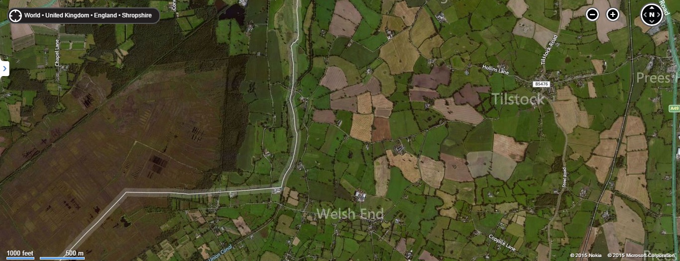
Last summer I was fortunate enough to be one of two archaeologists working on an archaeological excavation in Rhuddlan (Latitude 53.288595; Longitude -3.463749). I’ve blogged about Rhuddlan previously, see:

https://medievalparksgardensanddesignedlandscapes.wordpress.com/2013/08/11/our-dark-garden/

and

https://medievalparksgardensanddesignedlandscapes.wordpress.com/2014/06/01/the-medieval-magic-in-pit-t349/

for some context to the area of North Wales I’m talking about.

The excavation was undertaken for a client who had planning permission to build a new house within a medieval burgage plot directly opposite the north-west corner of the Edwardian castle [A burgage was a town rental property owned by a king or lord. The burgage usually, and distinctly, consisted of a house on a long and narrow plot of land with a narrow street frontage]. A preceding archaeological evaluation, which examined only a small percentage of the total area of the site found medieval and post-medieval pottery and hints of some kind of ditch system within the plot.

Documentary research established that the front of the burgage plot was now lost under part of a row of nineteenth century cottages, but the rear of the plot, as far as all the evidence indicated had been unencumbered by buildings and appeared to have always served as a garden in one form or another. My fellow archaeologist and I employed the services of a mechanical excavator to remove the considerable overburden dumped on the plot from the building of both the cottages at the front of the plot but also from the construction of another row of nineteenth century cottages to the western side of the plot.

The archaeological excavation of the medieval deposits revealed that the rear of the plot had not been occupied by a property, but had served as open space within which over the following centuries a series of pits and ditches had been dug, some of which had animal bone within them. However it was something far more ephemeral which was uncovered that I was more excited about for my PhD research.

The natural ground surface (that is the surface into which we find cut the earliest archaeological deposits on any site) was on one part of the site imprinted with the ends of tree roots. This was where a tree had established itself within the soil higher up than the natural and had then tried to extend its tree roots through the natural. In this case, the natural was a very hard and impermeable clay, meaning the tree roots left ‘dents’ as it tried to force its way into the ground.

Tree Roots Not Marked
The site post excavation (after all excavation had been completed). Rhuddlan Edwardian Castle is at the top of the picture. Scale 1x1m.
Tree Roots Marked
The indentations within the red circle are those left by the tree roots as they tried to push through the natural clay.

Why are tree root indentations exciting? The Edwardian castle garden was only 80 metres (262 feet) away and planted on identical geology. Although all above ground evidence, except for the well within the garden has disappeared, the excavations reveal the kind of archaeological evidence we should expect if an excavation on the site of the Edwardian Castle garden was undertaken. And I haven’t given up on the idea that I could be the person to lead and carry out that excavation.

FURTHER INFORMATION:

My Manchester Metropolitan University page – which describes the aims and objectives of my PhD research:

http://www2.mmu.ac.uk/hpp/research/current-phd-students/

You can also help fund my research – which has reached its original funding target. However if you like what you read, then you can still donate.

http://www.gofundme.com/medievalgardensandparks

My Academia.edu page – where you can download my published research:

http://mmu.academia.edu/SpencerGavinSmith


Archaeology, Art History, Cymru, Europe, Ewrop, History, Literature, Poetry, Shropshire, Sir Amwythig, Wales

The Trees of Tilstock Park

My Manchester Metropolitan University page: http://www2.mmu.ac.uk/hpp/research/current-phd-students/

Please help fund my research: http://www.gofundme.com/medievalgardensandparks – just over 50% funded to date.

My Academia.edu page: http://mmu.academia.edu/SpencerGavinSmith

This week we are on the Shropshire / Flintshire border looking at Tilstock Park (Longitude 52.931698; Latitude -2.710032). The earliest date for a park at Tilstock is 1361 when it is recorded in an ‘Inquisition Post Mortem’. An Inquisition Post Mortem recorded the lands held at their deaths by tenants of the crown.

If want to know more – have a look at http://www.inquisitionspostmortem.ac.uk: “The project will publish a searchable English translation of the IPMs covering the periods 1236 to 1447 and 1485 to 1509. From 1399 to 1447 the text will be enhanced to enable sophisticated analysis and mapping of the inquisitions’ contents. The online texts will be accompanied by a wealth of commentary and interpretation to enable all potential users to exploit this source easily and effectively.”

Back to our particular Inquisition taken in 1361, which was taken on the death of Ankaretta Lestrange. Although the park is not recorded prior to 1361, it must have been in existence prior to this date for it to be included. From 1361 to the end of the century there are records of the Parkers (those officials responsible for maintaining the parks) but in this post I want to look at the ‘death’  of the park, rather than its ‘life’.

During my research I found this image which was published in Rowley, T. 1972 ‘The Shropshire Landscape’, Hodder and Stoughton, London.

Tilstock Park c.1600
Tilstock Park c.1600.

(The annotations are mine on a photocopy before anyone thinks the book was defaced!)

This map – produced c.1600 – shows the ‘death’ of Tilstock Park. With the trees being chopped down by men equipped with axes. Having looked at this map in the book, I wasn’t happy with the reproduction of the original as some things didn’t look quite right, and it said in the book there there was no north marked on it.

Annotations on a copy of Tilstock Park c.1600
Annotations on a copy of Tilstock Park c.1600.

I thought I’d use my copy as it shows my ‘workings out’, and gives some idea of how I look for clues, both in maps and in the landscape. Firstly, the original map does have north marked on it, it just happens that it is written in Latin.

Latin words for 'North', 'South', 'East' and 'West' around the edge of the original map
Latin words for ‘North’, ‘South’, ‘East’ and ‘West’ around the edge of the original map.

Septentrionales = North / Meridies = South / Oriens = East / Occidens = West

Another way of orientating the map would be to look at where the county of Flintshire is marked, and in this case the county of Flintshire should be to the west of the county of Shropshire. So, with the map orientated, what other clues can we glean from the map?

Tilstock Park in its final incarnation had two gates, one on the western side and one on the eastern side. The gate on the western side had a park lodge outside of the park on the northern side, and there was another building in the north western corner of the park. On the southern side of the park was a water gate which allowed the flow of water to be controlled into a series of fish ponds on the south eastern side.

Fish Ponds in Tilstock Park
Fish Ponds in Tilstock Park.

Rowley thought that the park was divided into three – and in the ownership of Greene, Chawner and Gregorie. However, although Chawner and Gregorie appear to be depicted on the map, with axes over their shoulder, there is no sign of Greene. It would appear that in this case Greene refers to an open space, something we would expect to find in a medieval park.

Chawner and Gregorie depicted with axes
Chawner and Gregorie depicted with axes.

Chawner and Gregorie are probably felling the trees in Tilstock Park in order to see them off and make some money as they change the use of the park from something which would have derived its income from a variety of sources, for example from the deer and other animals kept in the park, from the fish in the ponds and from the sale of wood. The park would now become an open space used as farmland, in this case pasture for sheep or cows.

Armed with the knowledge the original map was kept in the Shropshire Archives in Shrewsbury, I went to see why it hadn’t been reproduced in the book and why Rowley had made a copy. When I saw the original, I quickly understood why. The map was in several shades of green with black ink illustrations on top. This meant it was very difficult to read, and even more difficult to photograph.

So, what does Tilstock Park look like today?

Tilstock Park Today
Tilstock Park Today in the wider landscape.

The most obvious feature visible in the park from the air is the site of the former fish ponds.

Tilstock Park Today. The edge of the former fish ponds is highlighted in blue
Tilstock Park Today. The edge of the former fish ponds is highlighted in blue.

The boundaries of the park are also clearly visible, and next week we’ll look inside the park in greater detail to see what else can be identified in the archaeological record.